
 EN
EN
 ar
ar bg
bg hr
hr cs
cs da
da nl
nl fi
fi fr
fr de
de el
el hi
hi it
it ko
ko no
no pl
pl pt
pt ro
ro ru
ru es
es sv
sv tl
tl iw
iw id
id lv
lv lt
lt sr
sr sk
sk sl
sl uk
uk vi
vi et
et hu
hu th
th tr
tr fa
fa ms
ms hy
hy ka
ka ur
ur bn
bn mn
mn ta
ta kk
kk uz
uz ku
ku
hydrostatic level sensor
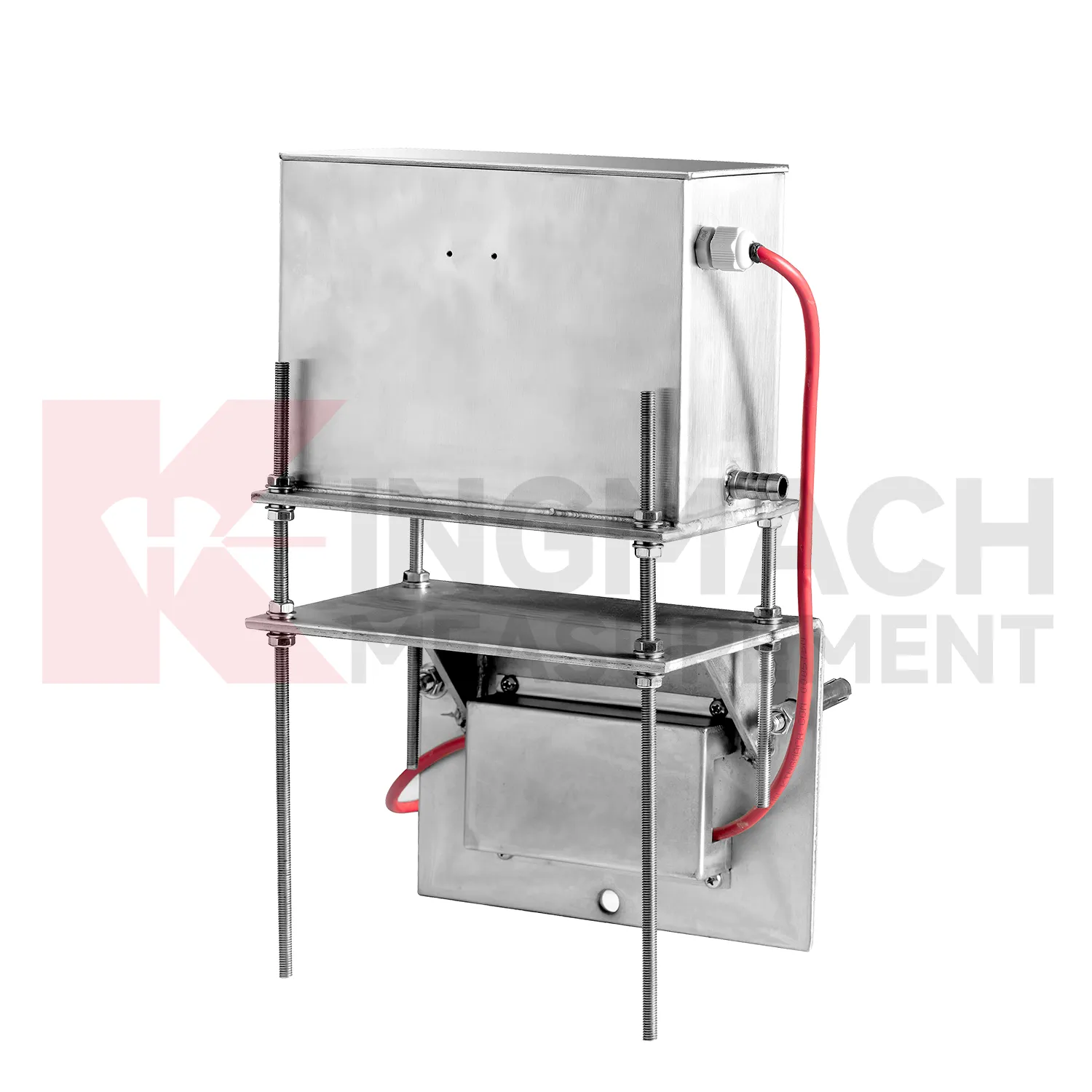
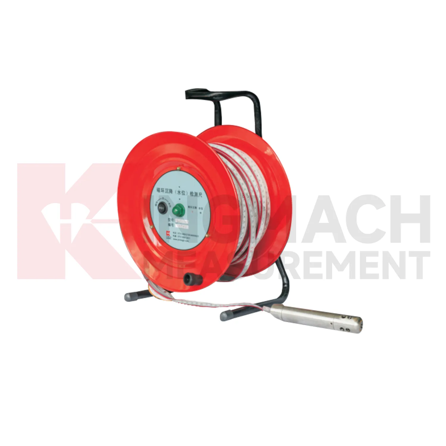
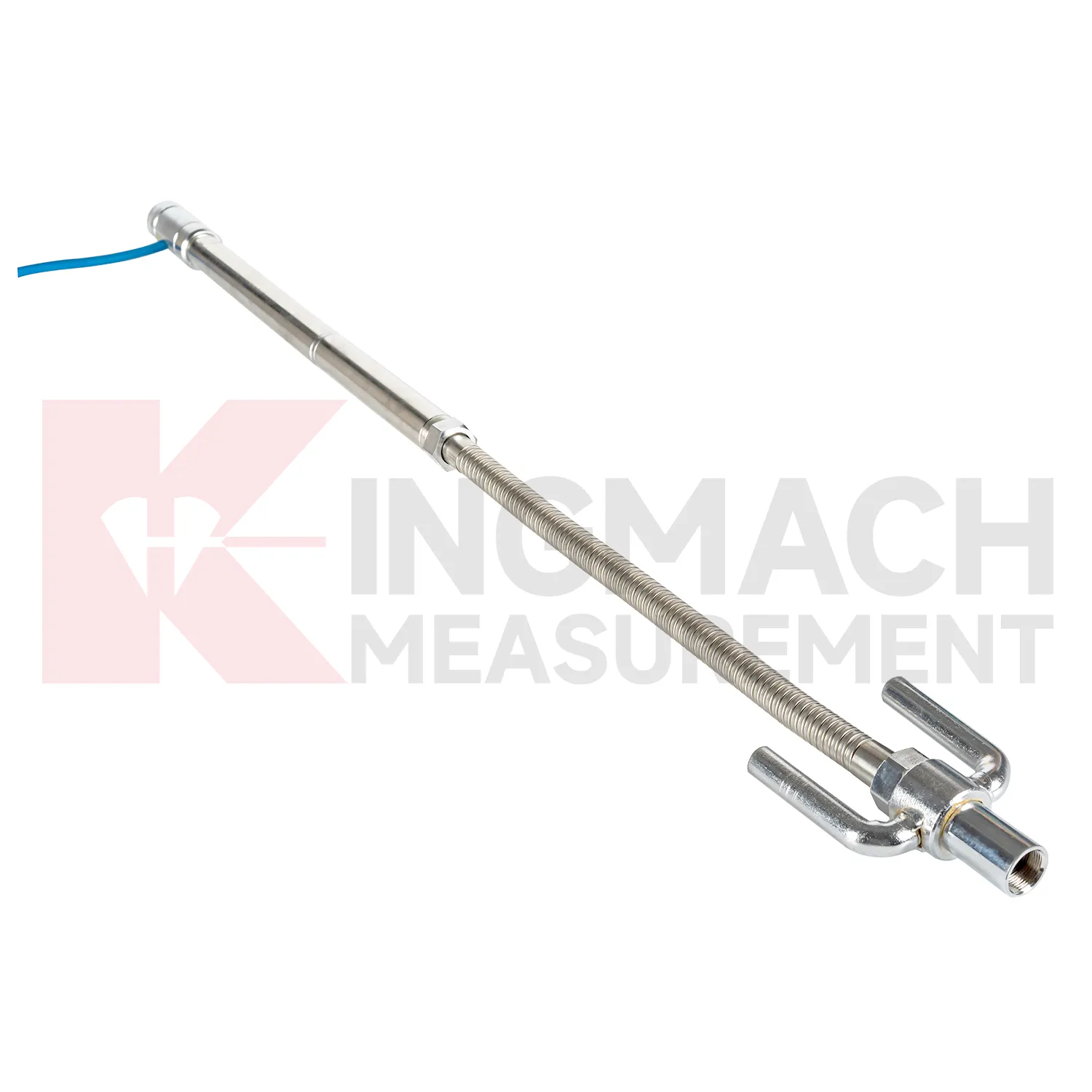
Kingmach hydrostatic level sensor also differ by installation form, and that selection has a direct effect on field reliability. Embedded gauges use settlement plates, rods, conduits, anchors, and side-exit cables. Hydrostatic instruments rely on tubes, liquid level relationships, reference points, and careful elevation control. Magnetic ring settlement water level gauges use boreholes, underground rings, a probe, tape markings, and manual depth readings. These are not interchangeable site layouts. The specification should state whether the sensor will be buried, fixed to a structure, connected through a hydraulic tube, read manually, or tied into RS485 acquisition. It should also define access after backfilling, compaction, dewatering, or traffic operation. A product with excellent accuracy can still produce poor records if the installation form does not match the site. For this reason, installation drawings, photos, channel names, and baseline notes should be prepared before routine settlement data is accepted. The field record should include model, installation form, reference relationship, and first stable reading so later reviewers can understand the measurement context. The field record should include model, installation form, reference relationship, and first stable reading so later reviewers can understand the measurement context. The field record should include model, installation form, reference relationship, and first stable reading so later reviewers can understand the measurement context.
Application of hydrostatic level sensor
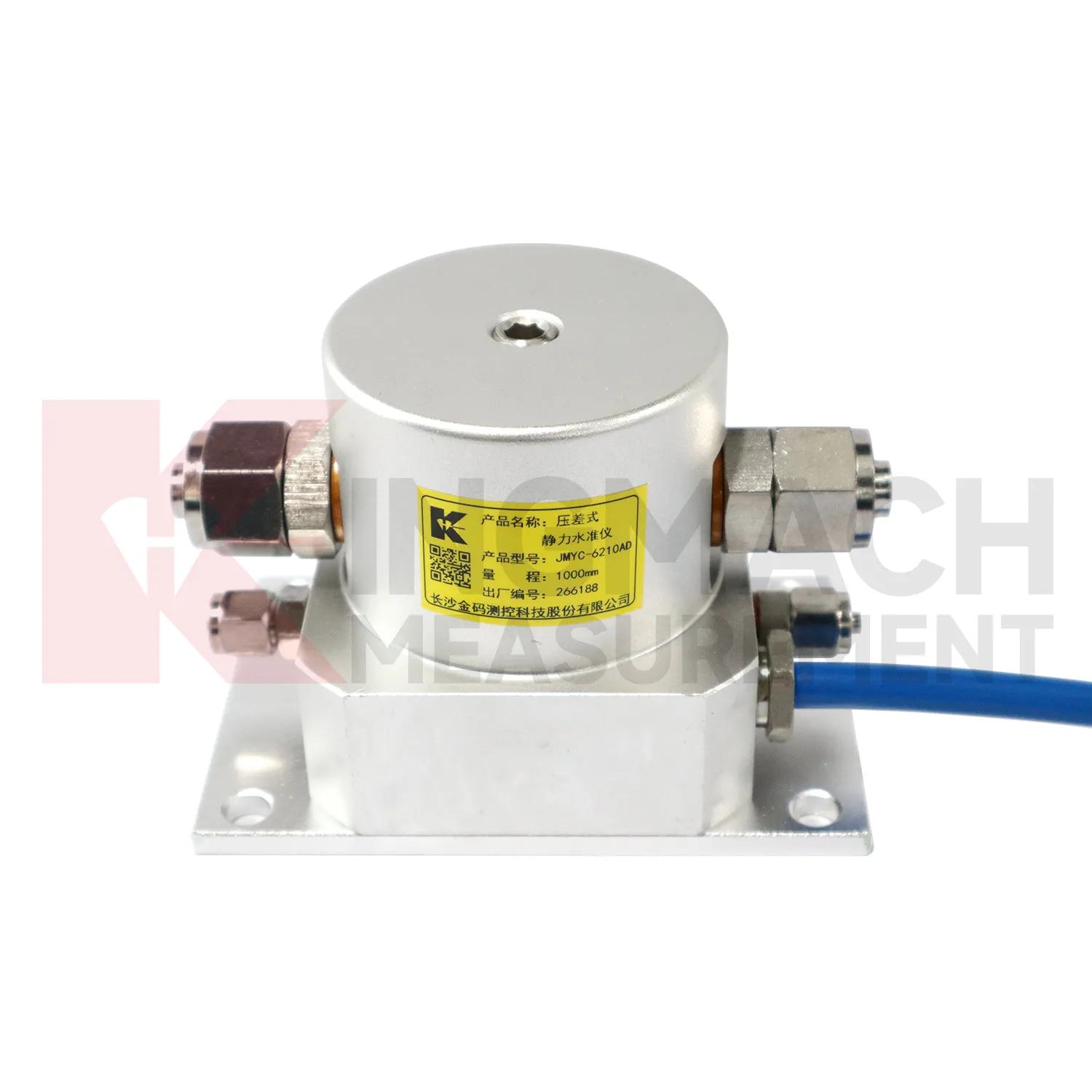
In bridge deflection and pier foundation monitoring, hydrostatic level sensor help engineers follow vertical behavior that may change with traffic, temperature, bearing response, scour, or foundation compression. Kingmach JMQJ-62XXADT micro range hydrostatic level sensors provide 50 mm and 100 mm ranges, 0.01 mm resolution, RS485 output, and IP68 protection for small movements near decks, piers, or abutments. JMDL-62XXADT hydrostatic sensors can connect several measuring points through tubes, allowing a bridge team to compare related locations against a common reference instead of reading each point alone. A practical layout may place sensors near pier caps, bearing seats, approach slabs, or foundation observation positions, depending on the risk being tracked. The daily review should not look at the settlement curve by itself. Traffic loading, temperature swing, inspection findings, bearing condition, river level, and nearby structural instruments give the curve meaning. If a pier point drifts while the deck and approach slab stay stable, the cause is different from a whole-span temperature response. Clear naming, stable reference control, and consistent reading intervals turn small vertical changes into usable maintenance evidence.
The future of hydrostatic level sensor
Asset management will be a stronger future use for hydrostatic level sensor. Owners of railways, highways, bridges, dams, and buildings need to know which sections are stable, which sections are still consolidating, and which points need maintenance budget. Settlement data can support that ranking when it is collected consistently over years. Kingmach products such as JMDL-47XXAT, JMQJ-62XXADT, JMDL-62XXADT, JMYC-62XXAD, and JMCJ-1003/1005 give different ways to measure vertical movement and groundwater conditions. Future asset systems can connect those records to inspection cycles, repair history, risk level, and renewal planning. The result is a settlement record that supports long-term decisions, not only construction-stage alarms. A mature asset file should show which points are healthy, which require field checking, and which have reached the end of useful instrument life.
Care & Maintenance of hydrostatic level sensor
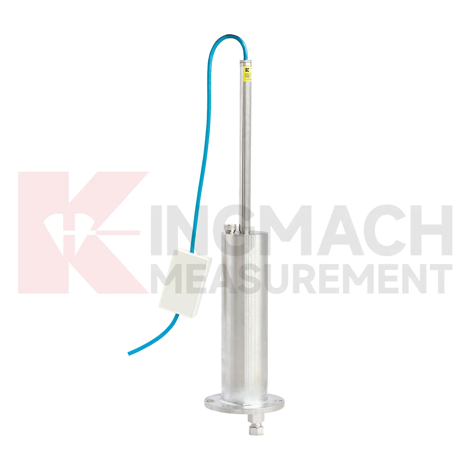
Replacement or recalibration of hydrostatic level sensor must preserve continuity in the settlement record. Do not overwrite earlier data or silently move the zero value. Record replacement date, reason, model, range, serial number, reference point, first stable reading, and any change to cable, tube, cabinet, borehole, or mounting setup. If a hydrostatic reference point is moved, explain how old and new readings should be compared. If a magnetic ring borehole is repaired, note whether depth references changed. If an embedded gauge is abandoned, mark the point status clearly in reports instead of leaving a silent gap. Settlement monitoring often matters because it lasts for years, so maintenance events must be visible to future reviewers. A clean handover file should let a new engineer understand not only the curve, but also every instrument event that shaped it.
Kingmach hydrostatic level sensor
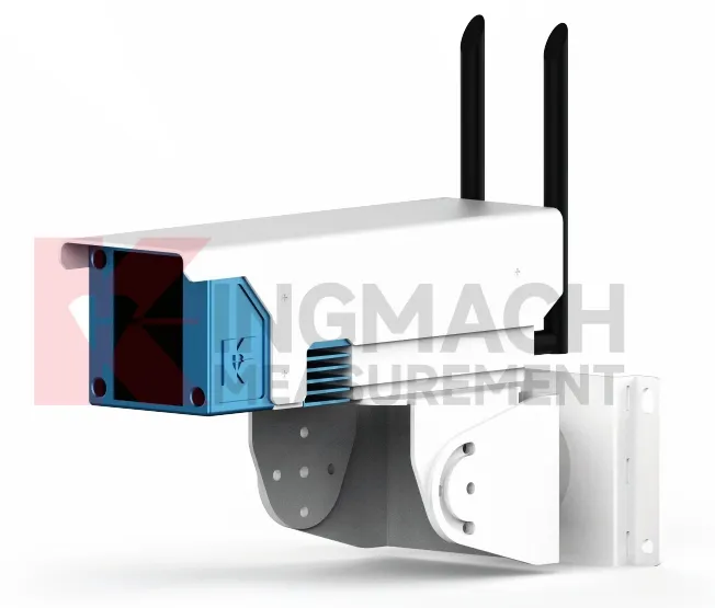
hydrostatic level sensor are used when vertical movement must be measured before it becomes visible as cracks, uneven pavement, rail irregularity, or structural distress. Kingmach settlement products cover embedded single-point measurement, hydrostatic leveling, wide-range differential pressure monitoring, magnetic ring settlement and water level reading, and micro range deflection monitoring. On a roadbed, the reading may show whether filling and compaction are stabilizing. On a bridge, it may show deflection relative to a reference point. In a foundation pit, it may show base uplift after excavation or dewatering. The key is to treat settlement as a time-based record, not a one-time survey value. Each point should carry its model, range, reference point, baseline, installation depth, and acquisition channel so later engineers can understand what moved, when it moved, and why the value matters. During review, the team should compare the value with nearby points, construction timing, water condition, and inspection notes before deciding whether the movement is acceptable.
FAQ
Q: What does JMDL-47XXAT measure?
A: It measures in-situ subgrade settlement, embankment heave, foundation pit base uplift, tunnel bottom uplift, dyke compression, and pile foundation settlement.
Q: What ranges are listed for JMDL-47XXAT?
A: The listed ranges are 100 mm, 200 mm, 300 mm, and 400 mm, with 0.01 mm resolution on the 100 and 200 mm models and 0.1 mm on larger models.
Q: How is the gauge installed?
A: It uses a settlement plate, electrical displacement sensor, measuring rod, metal flexible conduit, anchor head, extension rod, and bottom anchor head.
Q: Can traffic operation continue during monitoring?
A: The side-exit cable routing is designed to avoid interference with pavement compaction and can support monitoring during traffic operation when installed correctly.
Q: What should be recorded during installation?
A: Record plate position, anchor depth, extension length, cable route, baseline, model, range, and construction stage.
Reviews
Ryan Lewis
Fast delivery and excellent product quality. The accelerometers and tiltmeters are highly reliable. Strongly recommend this company.
Andrew Lee
The visualization software is intuitive and powerful. It helps us analyze monitoring data efficiently.
Latest Inquiries
To protect the privacy of our buyers, only public service email domains like Gmail, Yahoo, and MSN will be displayed. Additionally, only a limited portion of the inquiry content will be shown.
Sophia***@gmail.comUnited Kingdom
Good day, we need environmental monitoring sensors including temperature, humidity, and wind sensors...
Ava***@gmail.comAustralia
Hi, I am looking for reliable tiltmeters and accelerometers for structural health monitoring. Please...